Colonial Boulevard Alternatives Analysis Study
This study worked to identify alternatives to meet the mobility needs of all users, including motorists, pedestrians, bicyclists, and transit riders along a 1.2-mile corridor that carries 50,000 vehicles per day.
The Challenge
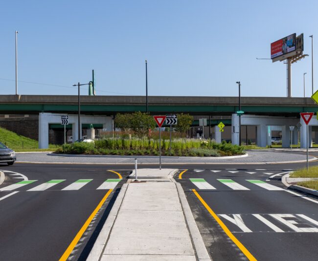
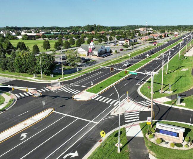
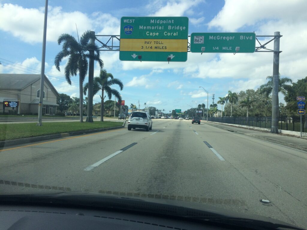
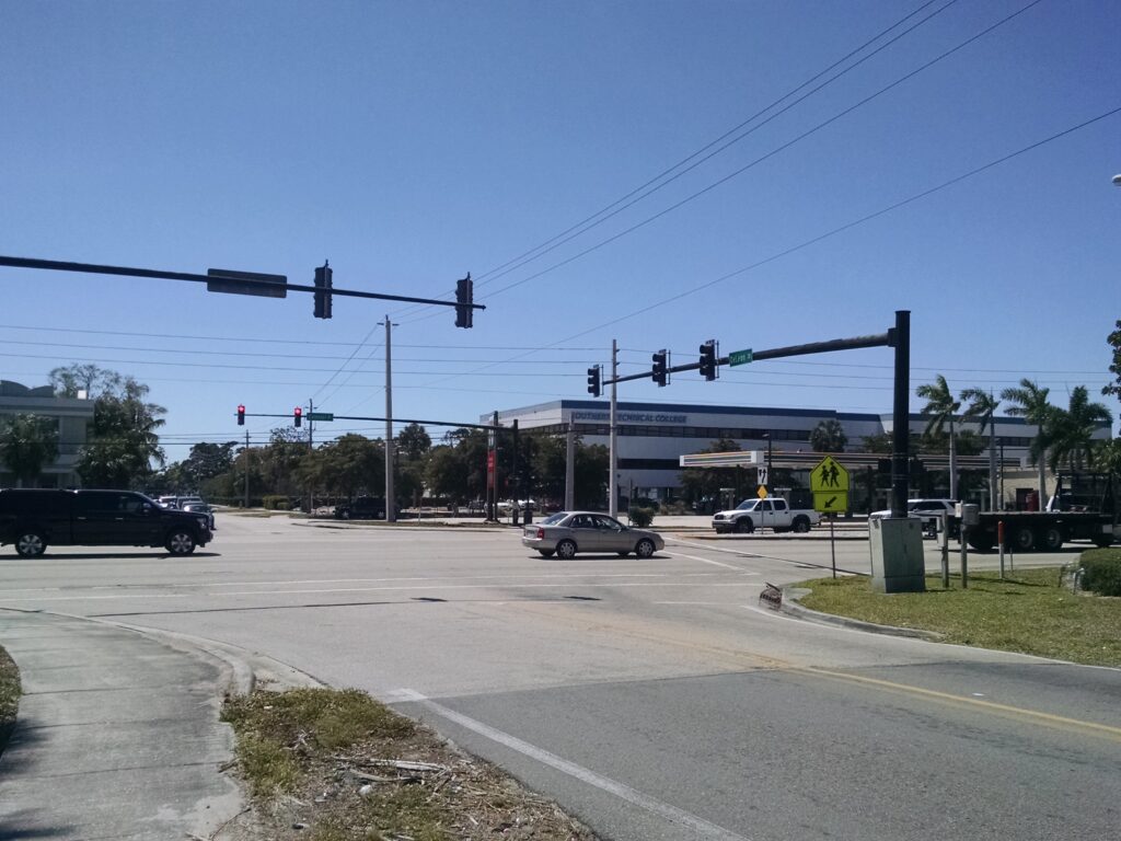
The Colonial Boulevard Alternatives Analysis Study was a detailed safety and operational analysis of the existing Colonial Boulevard corridor from the intersection with US 41 (Cleveland Avenue) to McGregor Boulevard in Fort Myers, FL. The facility is an urban arterial with three lanes in each direction, limited offset to sidewalk, and no bicycle facilities. The area is established with numerous cultural resources as well as schools, parks, churches, and retail/shopping areas in the immediate vicinity.
The goal of the study was to recommend alternatives (short and long term) to alleviate the traffic and safety concerns while providing improved multimodal, pedestrian, and bicycle access and facilities.
How We Helped
The McCormick Taylor team collected turning movement count data at 21 intersections throughout the corridor. To calibrate the analysis model, travel time data was also obtained. Future year traffic volumes were developed for various planning horizons (2020, 2025, and 2030). Growth rates were developed from FDOT District 1 Regional Planning Model (D1RPM) FSUTMS, historical traffic data, and local knowledge and experience of LCDOT staff. The development of volumes for multiple future years allowed for the evaluation of short-term (1-3 years), medium term (4-10 years) and long-term (greater than 10 years) improvements.
In addition to capacity and operational improvements, identification of safety improvements was a primary objective of this study. To understand the current safety conditions in the corridor, a comprehensive review of recent crash data and a qualitative assessment of the corridor was conducted using a formal Road Safety Audit procedure. To evaluate existing and design year operations of the corridor, VISSIM, a microsimulation model, was developed and utilized. This software provided the opportunity to analyze ramp operations along the arterial and to capture various measures of effectiveness including Level of Service (LOS), vehicle throughput, and corridor travel time.
Results
Improvement alternatives were developed for the short-, medium-, and long-term scenarios. Initial evaluation of the potential alternatives considered each improvement individually and then were later refined and combined into improvement bundles. Summary sheets for each alternative were developed which summarized the existing and proposed lane configuration, traffic volume data, graphic of the proposed improvement, traffic operations, and project considerations.