Environmental
Minimizing Project Risk and Protecting Natural and Cultural Resources
Video at the head of the service page.
Transcript of video content:
A shot of a stream with the camera partially submerged beneath the water revealing rocks on the stream bed. A retaining wall next to a roadway with a safety guardrails is on the left side of the stream and a sewer pipe line is on the right side of the stream
A still closeup image of a frog on a leaf.
A shot of a stream from above the water showing a step pool bordered by large rocks beneath the water. The water cascades over the large rocks and the stream is flanked by a rocky bank on the left and grass, vegetation and trees on the right.
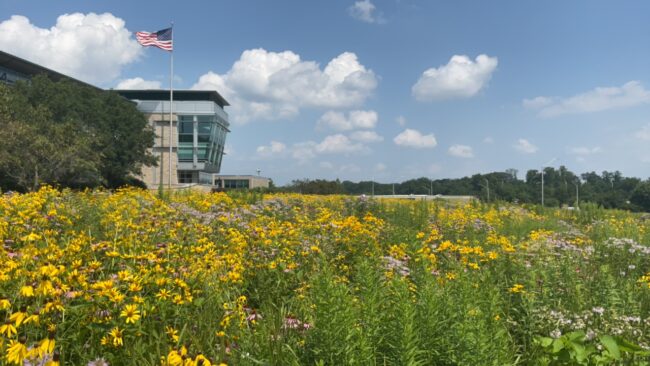
A field of sunflowers blowing in the breeze in front of a modern building on the left with an American flag flying above it against a blue sky with fluffy white clouds
Still shot of a heron crouching in a snow-spotted landscape
Moving shot of a display case containing arranged archaeological samples
Still shot of a black and yellow caterpillar on a leaf next to pink flowers
A close up of a person’s forearm releasing a bat into the night
Still shot of a person’s hand holding a turtle
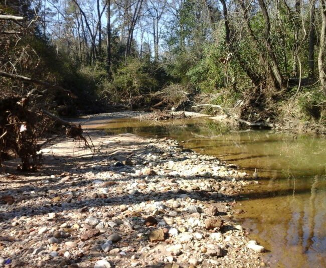
A shot of a rocky stream running through a grassy landscape
A still shot of an arch bridge running over a river against a blue sky
End of video transcript.
McCormick Taylor’s environmental planners, scientists, biologists, and wildlife specialists provide comprehensive environmental services that help clients navigate complex regulatory landscapes while minimizing project risk and protecting natural and cultural resources. Knowing that healthy environments are essential to quality of life, we ensure our projects strike a harmonious balance between the natural and built environments.
We support our clients with early-stage services such as purpose and need definition, planning and feasibility studies, and NEPA/environmental documentation. Our expertise also includes natural resource assessments, wetland and stream studies, threatened and endangered species coordination, and socioeconomic and environmental justice analyses—all critical to understanding project impacts and securing timely approvals.
Service Capabilities
- Agency Coordination
- Effect Assessments
- Planning & Environment Linkages (PEL) Studies
- Policy Development
- Purpose & Need Studies
- Section 4(f) & Section 6(f)
- Training Development & Delivery
- Aquatic Species Migration Assessments
- Fish & Macroinvertebrate Surveys
- Fish Passage Design
- Floodplain Analysis
- Mitigation Bank Coordination
- Sediment Transport Evaluations
- Stream Restoration & Mitigation
- Watershed Assessments
- Wetland & Stream Delineations
- Wetland Mitigation
- Agricultural Studies
- Community Context Assessment
- Demographic Research
- Economic Analysis
- Emergency Service Analysis
- Archaeological Investigations Phase I, II, and III
- Archaeological Monitoring
- Architectural & Historical Analysis
- Archival Research & Analysis
- Avoidance Alternatives & Mitigation
- Burial Documentation & Removal
- Cemetery Identification & Delineation
- Consulting Party Identification & Coordination
- Curation Standards & Methods
- Determination of Effects Reports
- Geoarchaeology & Geomorphology
- Historic Structures Surveys
- Mitigation Publication & Exhibit Design
- National Register Determinations of Eligibility
- National Register of Historic Places Nomination
- Tribal Consultation
- Section 106, 110, & NEPA Compliance
- Aquatic Ecological Survey
- Avian Surveys, Nest Relocation & Monitoring
- Bat Survey and Conservation
- Benthic and Macroinvertebrate Surveys
- Bog Turtle Survey and Conservation
- Fish Surveys
- Landscape Design
- Management Plans
- Pollinator Habitat Surveys, Design & Monitoring
- Soil & Water Quality Assessment
- Threatened & Endangered Species
- Surveys/Coordination
- Air Quality Studies
- Noise Modeling
- Noise Studies & Mitigation
- Noise Wall Design
- FEMA Permitting
- Local/State/Federal Permitting
- MS4 Permitting
- NPDES Permitting
- Permit Tracker Application
- USACE Section 10, Section 404, and Section 408 Permitting
- Section 401 Permitting
- USCG Permitting
- Independent Environmental Monitors
- Mitigation Monitoring
- Outfall Inspections
- Post Storm Inspections
- Stream Restoration Monitoring
- TMDL Monitoring
- Phase I Environmental Site Assessments (ESA)
- ArcGIS Online Management
- Dashboards
- Geodatabase Design & Management
- GIS Maintenance, Support & Training
- GIS Predictive Model
- Mapbox and Leaflet Custom Web Applications
- Mapping/Web-mapping/Story Mapping
- Mobile Data Collection
- Python and R Scripting
- Spatial Analysis & Modeling
- User Experience and User Interface Design
- Creative Services
- Data Analysis & Management
- Federal, State, & Local Officials Coordination
- Media Coordination
- Policy & Program Development & Delivery
- Public & Stakeholder Engagement
- Strategic Communications
- Website/App Design & Development
NEPA Process & Documentation
- Agency Coordination
- Effect Assessments
- Planning & Environment Linkages (PEL) Studies
- Policy Development
- Purpose & Need Studies
- Section 4(f) & Section 6(f)
- Training Development & Delivery
Wetlands & Streams
- Aquatic Species Migration Assessments
- Fish & Macroinvertebrate Surveys
- Fish Passage Design
- Floodplain Analysis
- Mitigation Bank Coordination
- Sediment Transport Evaluations
- Stream Restoration & Mitigation
- Watershed Assessments
- Wetland & Stream Delineations
- Wetland Mitigation
Social/Economic Studies
- Agricultural Studies
- Community Context Assessment
- Demographic Research
- Economic Analysis
- Emergency Service Analysis
Cultural Resources
- Archaeological Investigations Phase I, II, and III
- Archaeological Monitoring
- Architectural & Historical Analysis
- Archival Research & Analysis
- Avoidance Alternatives & Mitigation
- Burial Documentation & Removal
- Cemetery Identification & Delineation
- Consulting Party Identification & Coordination
- Curation Standards & Methods
- Determination of Effects Reports
- Geoarchaeology & Geomorphology
- Historic Structures Surveys
- Mitigation Publication & Exhibit Design
- National Register Determinations of Eligibility
- National Register of Historic Places Nomination
- Tribal Consultation
- Section 106, 110, & NEPA Compliance
Plant & Wildlife Services
- Aquatic Ecological Survey
- Avian Surveys, Nest Relocation & Monitoring
- Bat Survey and Conservation
- Benthic and Macroinvertebrate Surveys
- Bog Turtle Survey and Conservation
- Fish Surveys
- Landscape Design
- Management Plans
- Pollinator Habitat Surveys, Design & Monitoring
- Soil & Water Quality Assessment
- Threatened & Endangered Species
- Surveys/Coordination
Air Quality & Noise Studies
- Air Quality Studies
- Noise Modeling
- Noise Studies & Mitigation
- Noise Wall Design
Environmental Permitting
- FEMA Permitting
- Local/State/Federal Permitting
- MS4 Permitting
- NPDES Permitting
- Permit Tracker Application
- USACE Section 10, Section 404, and Section 408 Permitting
- Section 401 Permitting
- USCG Permitting
Environmental Monitoring & Compliance Inspection
- Independent Environmental Monitors
- Mitigation Monitoring
- Outfall Inspections
- Post Storm Inspections
- Stream Restoration Monitoring
- TMDL Monitoring
Hazardous Waste
- Phase I Environmental Site Assessments (ESA)
GIS Spatial Analysis, Mapping, & Modeling
- ArcGIS Online Management
- Dashboards
- Geodatabase Design & Management
- GIS Maintenance, Support & Training
- GIS Predictive Model
- Mapbox and Leaflet Custom Web Applications
- Mapping/Web-mapping/Story Mapping
- Mobile Data Collection
- Python and R Scripting
- Spatial Analysis & Modeling
- User Experience and User Interface Design
Communications & Engagement
- Creative Services
- Data Analysis & Management
- Federal, State, & Local Officials Coordination
- Media Coordination
- Policy & Program Development & Delivery
- Public & Stakeholder Engagement
- Strategic Communications
- Website/App Design & Development
Projects
view all-
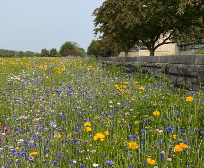
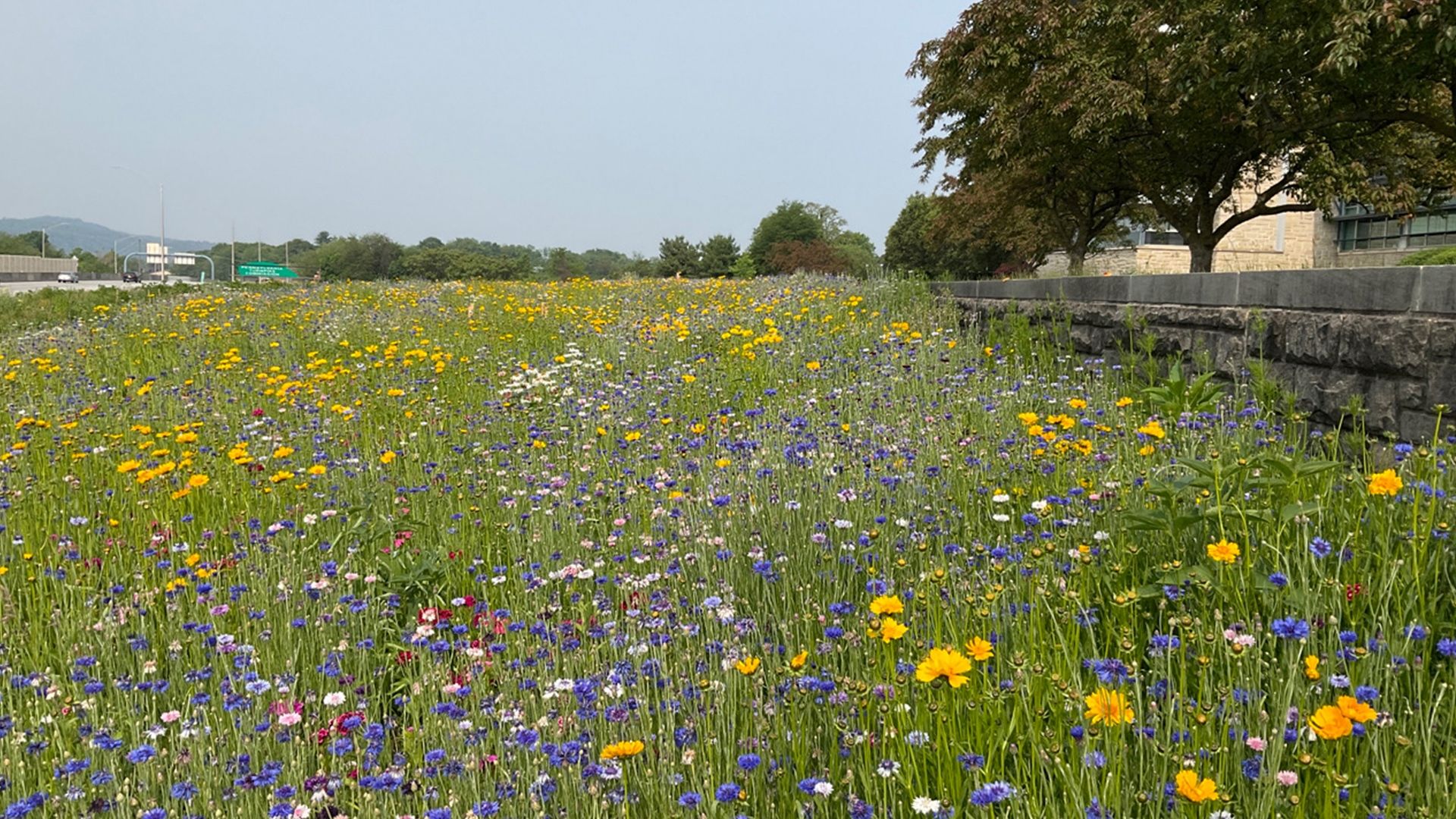
Pollinator Habitat Pilot Project
Pa Turnpike Roadside, PA -
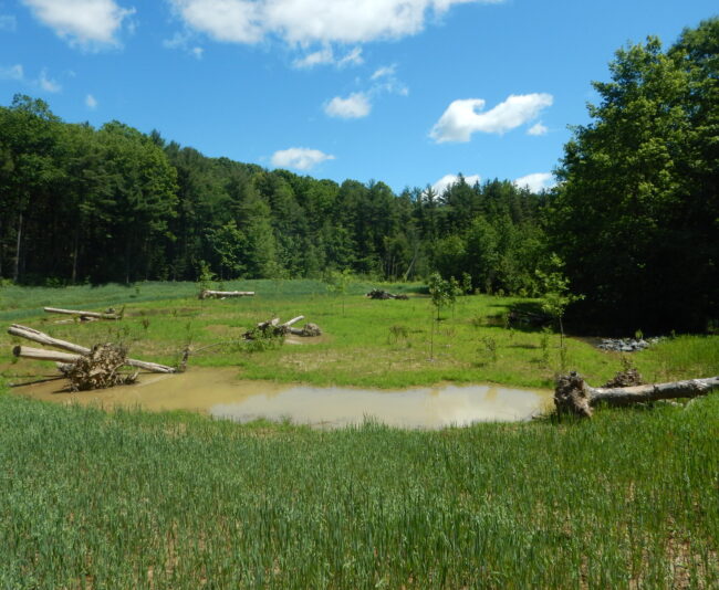
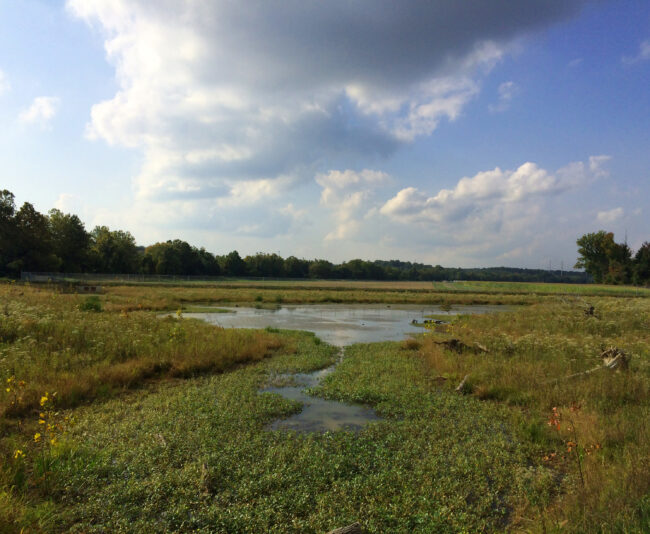
Fire Pond Wetland Mitigation and Stream Restoration Project
Centre County, PA -
TMDL Stream Restoration at Rosaryville State Park
Upper Marlboro, MD -
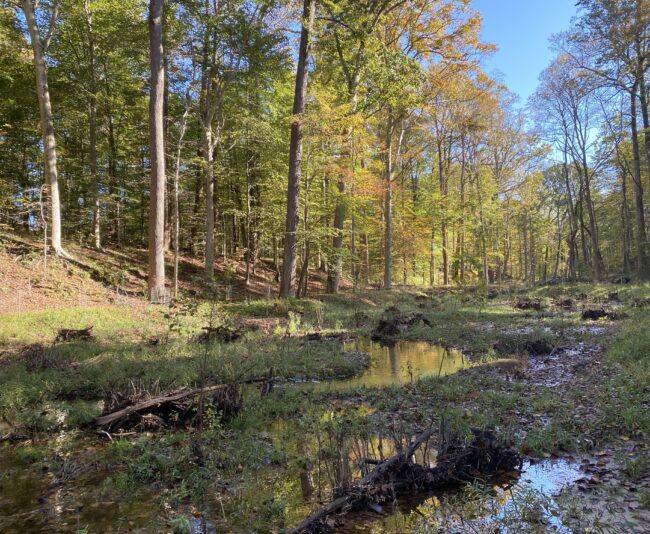
Rocky & Smith Branch Watershed Assessments
Columbia, SC -
PB-85 Stream Restoration
Prince George's County, MD -
Compliance Monitoring


Contact Us
Connect with a service leader to learn about our solutions for your project or partnering needs.
Career Opportunities
view all-
McCormick Taylor | Environmental/Natural ResourcesWatershed Services (Stream Restoration) Manager
- Full-Time
- Baltimore, MD
Apply Here -
McCormick Taylor | Environmental/Natural ResourcesStream Restoration Designer/Engineer II/III
- Full-Time
- Baltimore, MD
Apply Here -
McCormick Taylor | Environmental/Natural ResourcesEnvironmental Scientist II
- Full-Time
- Baltimore, MD
- Glen Allen, VA
- Exton, PA
- Philadelphia, PA
- Mount Laurel, NJ
Apply Here -
McCormick Taylor | Environmental/Natural ResourcesEnvironmental Planner I
- Full-Time
- Raleigh, NC
Apply Here
Our People Move Us